
 При поддержке министерства культуры чтения России
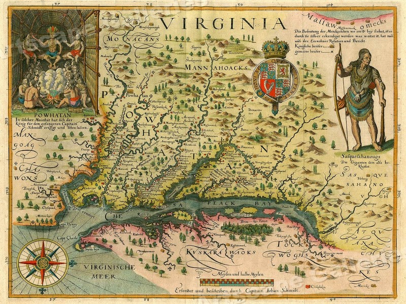
Старые карты Америки.

The east-west mountain range is even more strongly shown on Gerard Mercator’s important 1569 world map, one of the most influential maps of the sixteenth century, as well as graphically on Cornelis de Jode’s “Americae Pars Borealis” [Northern part of America] from 1593.
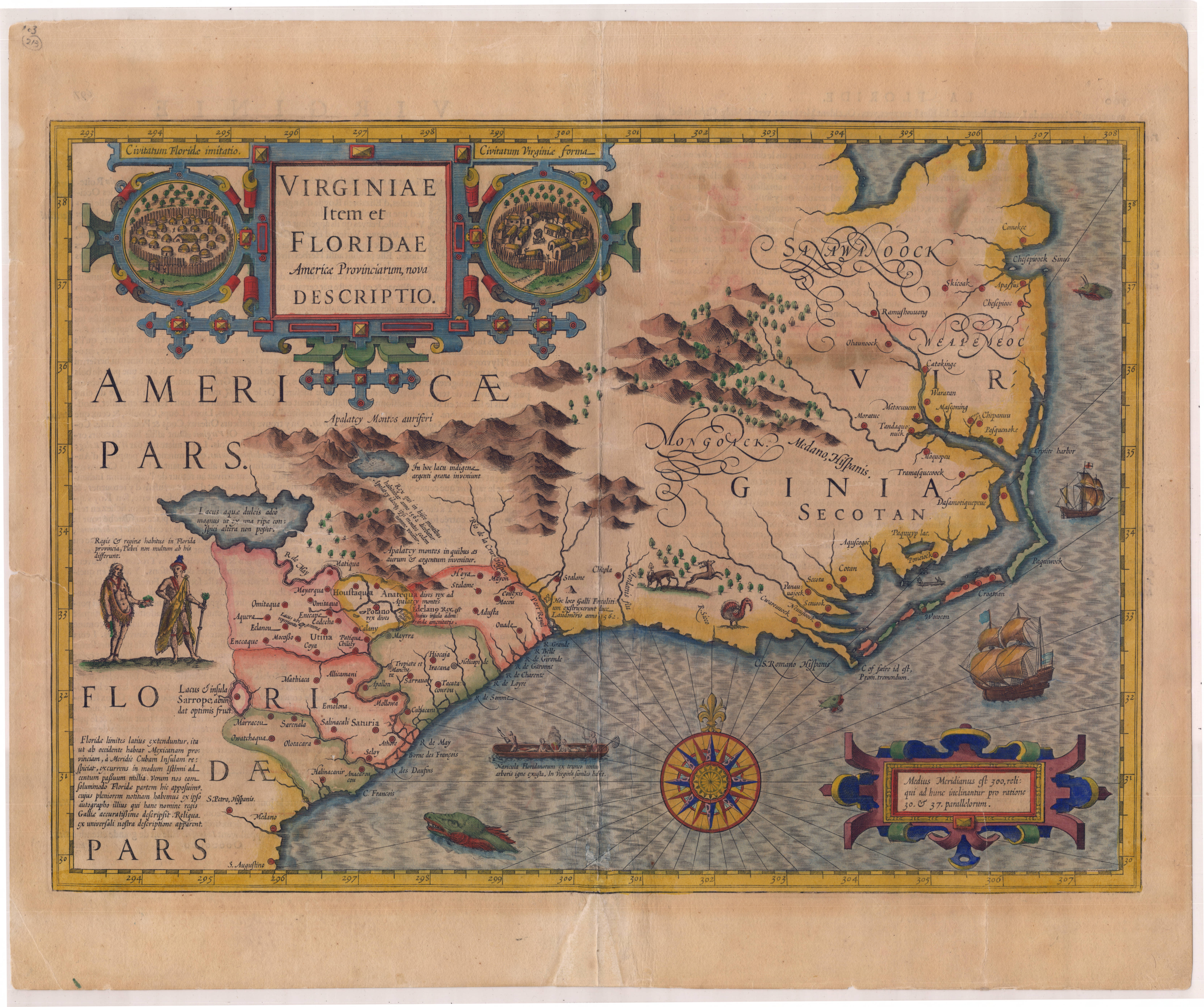
Virginia and Florida

1572, A. Ortelius, Americae Sive Novi Orbis Nova

Americae Nova Tabula

Nova totius terrarum orbis geographica ac hydrographica tabula

Extrema Americae, Versus Boream, ubi, Terra Nova Nova Francia. (BLAEU, Willem and Jan, 1662)

Americae Nova Tabula by Willem Blaeu